 vesseltracker.com
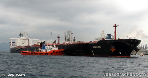
Vessel Navarino IMO: 9000194, MMSI: 636015456 Crude Oil Tanker
UTC, 1.26659, 103.68623, course: 308, speed: 0.3
2026-02-04 07:50:51 UTC, 1.26659, 103.68623, course: 308, speed: 0.3
Live AIS position:
UTC. Near JURONG ISLAND),
updated 2026-02-04 07:50:51 UTC.
Find the position of the vessel Navarino on the map. The latter are known coordinates and path.
marine traffic ship tracker show on live map
The current position of vessel Navarino is 1.26659 lat / 103.68623 lng. Updated: 2026-02-04 07:50:51 UTCDetails:
Last coordinates of the vessel:
UTC, 1.26659, 103.68623, course: 308, speed: 0.3UTC, 1.26659, 103.68623, course: 308, speed: 0.3
2026-02-04 07:50:51 UTC, 1.26659, 103.68623, course: 308, speed: 0.3