 vesseltracker.com
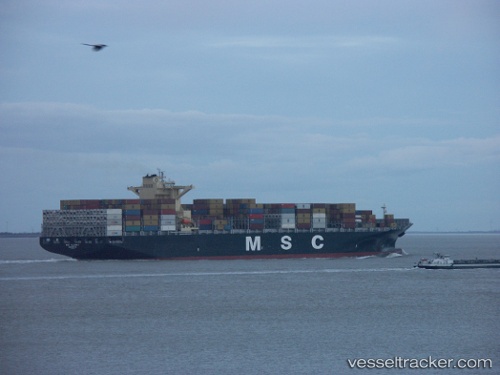
Vessel Msc Albany IMO: 9619438, MMSI: 636015665 Container Ship
UTC, -19.12491, -37.93008, course: 33, speed: 16.6
UTC, -18.61035, -37.55574, course: 31, speed: 16.2
2026-02-03 20:04:01 UTC, -18.14537, -37.23997, course: 35, speed: 16.8
Live AIS position:
UTC. 118 nm E of Alcobaca),
updated 2026-02-03 20:04:01 UTC.
Find the position of the vessel Msc Albany on the map. The latter are known coordinates and path.
marine traffic ship tracker show on live map
The current position of vessel Msc Albany is -18.14537 lat / -37.23997 lng. Updated: 2026-02-03 20:04:01 UTCCurrently sailing under the flag of Liberia
Msc Albany built in 2013 year
Deadweight:
112516 tDetails:
Last coordinates of the vessel:
UTC, -20.03617, -38.58673, course: 33, speed: 16.7UTC, -19.12491, -37.93008, course: 33, speed: 16.6
UTC, -18.61035, -37.55574, course: 31, speed: 16.2
2026-02-03 20:04:01 UTC, -18.14537, -37.23997, course: 35, speed: 16.8