 vesseltracker.com
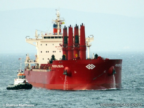
Vessel Peaceful Seas IMO: 9707584, MMSI: 636016197 Bulk Carrier
UTC, 14.32813, 120.32017, course: 147, speed: 7.4
UTC, 14.11233, 120.44482, course: 158, speed: 7.6
2026-01-30 13:25:09 UTC, 13.86991, 120.51845, course: 163, speed: 7.5
Live AIS position:
UTC. Near Calatagan),
updated 2026-01-30 13:25:09 UTC.
Find the position of the vessel Peaceful Seas on the map. The latter are known coordinates and path.
marine traffic ship tracker show on live map
The current position of vessel Peaceful Seas is 13.86991 lat / 120.51845 lng. Updated: 2026-01-30 13:25:09 UTCCurrently sailing under the flag of Liberia
Details:
Last coordinates of the vessel:
UTC, 14.63324, 120.19700, course: 155, speed: 11.9UTC, 14.32813, 120.32017, course: 147, speed: 7.4
UTC, 14.11233, 120.44482, course: 158, speed: 7.6
2026-01-30 13:25:09 UTC, 13.86991, 120.51845, course: 163, speed: 7.5