 vesseltracker.com
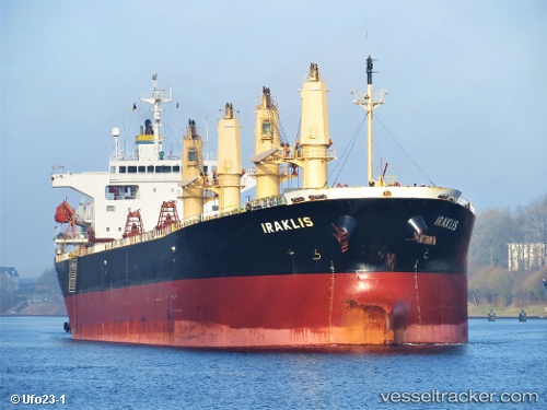
Vessel Iraklis IMO: 9233430, MMSI: 636016421 Bulk Carrier
UTC, 36.61023, 36.14932, course: 196, speed: 0.1
UTC, 36.60953, 36.15067, course: 250, speed: 0
2026-02-01 20:20:22 UTC, 36.60690, 36.14995, course: 338, speed: 0
Live AIS position:
UTC. Near Iskenderun),
updated 2026-02-01 20:20:22 UTC.
Find the position of the vessel Iraklis on the map. The latter are known coordinates and path.
marine traffic ship tracker show on live map
The current position of vessel Iraklis is 36.60690 lat / 36.14995 lng. Updated: 2026-02-01 20:20:22 UTCDetails:
Last coordinates of the vessel:
UTC, 36.61062, 36.14917, course: 191, speed: 0UTC, 36.61023, 36.14932, course: 196, speed: 0.1
UTC, 36.60953, 36.15067, course: 250, speed: 0
2026-02-01 20:20:22 UTC, 36.60690, 36.14995, course: 338, speed: 0