 vesseltracker.com
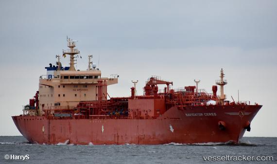
Find the position of the vessel Navigator Ceres on the map. The latter are known coordinates and path.
marine traffic ship tracker show on live map
The current position of vessel Navigator Ceres is 42.3749 lat / 145.373 lng. Updated: 2024-04-29 03:00:06 UTCCurrently sailing under the flag of Liberia
Port of registry:
Monrovia (capital city of Liberia)Payload_mass:
16672.3 tonneGross tonnage:
17208Service entry:
2015-01-01T00:00:00ZDetails:
Last coordinates of the vessel:
UTC, 42.2408, 145.024, course: 62, speed: 14UTC, 42.3238, 145.235, course: 64, speed: 13.7
UTC, 42.3749, 145.373, course: 68, speed: 13.6
2024-04-29 03:00:06 UTC, 42.3749, 145.373, course: 68, speed: 13.6