 vesseltracker.com
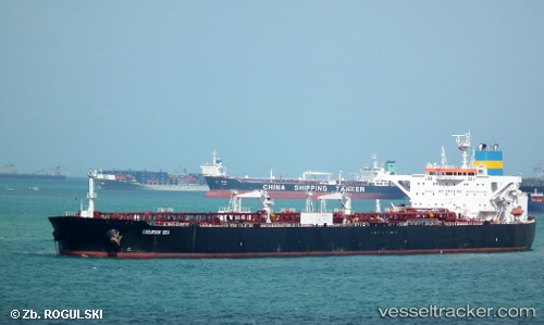
Find the position of the vessel Ligurian Sea on the map. The latter are known coordinates and path.
marine traffic ship tracker show on live map
The current position of vessel Ligurian Sea is -37.86377 lat / 144.91519 lng. Updated: 2025-10-13 15:52:34 UTCCurrently sailing under the flag of Liberia
Ligurian Sea built in 2011 year
Deadweight:
116715 tDetails:
Last coordinates of the vessel:
UTC, -37.86382, 144.91513, course: 32, speed: 0UTC, -37.86375, 144.91518, course: 32, speed: 0
UTC, -37.86376, 144.91519, course: 32, speed: 0
2025-10-13 15:52:34 UTC, -37.86377, 144.91519, course: 33, speed: 0