 vesseltracker.com
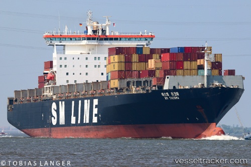
Vessel Sm Tacoma IMO: 9189366, MMSI: 636016978 Container Ship
UTC, 12.57977, 72.10761, course: 310, speed: 13.9
UTC, 12.79607, 71.87637, course: 311, speed: 14.6
2026-01-17 12:11:44 UTC, 12.92837, 71.72490, course: 310, speed: 14.8
Live AIS position:
UTC. 124 nm NW of Amini Island),
updated 2026-01-17 12:11:44 UTC.
Find the position of the vessel Sm Tacoma on the map. The latter are known coordinates and path.
marine traffic ship tracker show on live map
The current position of vessel Sm Tacoma is 12.92837 lat / 71.72490 lng. Updated: 2026-01-17 12:11:44 UTCDetails:
Last coordinates of the vessel:
UTC, 12.34691, 72.37773, course: 309, speed: 14.4UTC, 12.57977, 72.10761, course: 310, speed: 13.9
UTC, 12.79607, 71.87637, course: 311, speed: 14.6
2026-01-17 12:11:44 UTC, 12.92837, 71.72490, course: 310, speed: 14.8