 vesseltracker.com
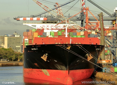
Vessel Anthea Y IMO: 9710244, MMSI: 636016986 Container Ship
UTC, 51.81887, 2.84660, course: 63, speed: 7.9
UTC, 51.92253, 3.35724, course: 73, speed: 8.6
2026-02-11 07:15:36 UTC, 51.96953, 4.08672, course: 189, speed: 5.8
Live AIS position:
UTC. Near MAASVLAKTE - ROTTERDAM),
updated 2026-02-11 07:15:36 UTC.
Find the position of the vessel Anthea Y on the map. The latter are known coordinates and path.
marine traffic ship tracker show on live map
The current position of vessel Anthea Y is 51.96953 lat / 4.08672 lng. Updated: 2026-02-11 07:15:36 UTCDetails:
Last coordinates of the vessel:
UTC, 51.83774, 2.49512, course: 124, speed: 9.6UTC, 51.81887, 2.84660, course: 63, speed: 7.9
UTC, 51.92253, 3.35724, course: 73, speed: 8.6
2026-02-11 07:15:36 UTC, 51.96953, 4.08672, course: 189, speed: 5.8