 vesseltracker.com
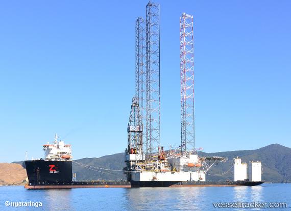
Find the position of the vessel Red Zed I on the map. The latter are known coordinates and path.
marine traffic ship tracker show on live map
The current position of vessel Red Zed I is 51.93610 lat / 4.18917 lng. Updated: 2025-11-01 15:35:53 UTCDetails:
Last coordinates of the vessel:
UTC, 51.93611, 4.18916, course: 311, speed: 0.1UTC, 51.93612, 4.18916, course: 311, speed: 0.2
UTC, 51.93610, 4.18915, course: 311, speed: 0.2
2025-11-01 15:35:53 UTC, 51.93610, 4.18917, course: 311, speed: 0.1
Track of the vessel in the last 14 days
The ship also appears on the maps: