 vesseltracker.com
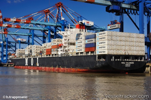
Vessel Santa Regula IMO: 9293179, MMSI: 636016999 Container Ship
UTC, 8.79495, -79.59395, course: 18, speed: 0
UTC, 8.79490, -79.59365, course: 9, speed: 0
2026-02-24 16:30:03 UTC, 8.79478, -79.59381, course: 7, speed: 0
Live AIS position:
UTC. Near Melones),
updated 2026-02-24 16:30:03 UTC.
Find the position of the vessel Santa Regula on the map. The latter are known coordinates and path.
marine traffic ship tracker show on live map
The current position of vessel Santa Regula is 8.79478 lat / -79.59381 lng. Updated: 2026-02-24 16:30:03 UTCDetails:
Last coordinates of the vessel:
UTC, 8.79749, -79.59534, course: 87, speed: 0UTC, 8.79495, -79.59395, course: 18, speed: 0
UTC, 8.79490, -79.59365, course: 9, speed: 0
2026-02-24 16:30:03 UTC, 8.79478, -79.59381, course: 7, speed: 0