 vesseltracker.com
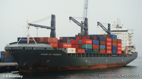
Vessel Sealand Manzanillo IMO: 9383261, MMSI: 636017153 Container Ship
UTC, 8.95790, -79.56521, course: 317, speed: 0
UTC, 8.95794, -79.56518, course: 318, speed: 0
2026-02-02 21:31:01 UTC, 8.95796, -79.56522, course: 318, speed: 0
Live AIS position:
UTC. Near Balboa),
updated 2026-02-02 21:31:01 UTC.
Find the position of the vessel Sealand Manzanillo on the map. The latter are known coordinates and path.
marine traffic ship tracker show on live map
The current position of vessel Sealand Manzanillo is 8.95796 lat / -79.56522 lng. Updated: 2026-02-02 21:31:01 UTCDetails:
Last coordinates of the vessel:
UTC, 8.87537, -79.50058, course: 104, speed: 5.8UTC, 8.95790, -79.56521, course: 317, speed: 0
UTC, 8.95794, -79.56518, course: 318, speed: 0
2026-02-02 21:31:01 UTC, 8.95796, -79.56522, course: 318, speed: 0