 vesseltracker.com
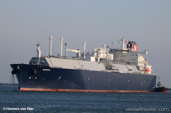
Vessel Kinisis IMO: 9785158, MMSI: 636018011 Lng Tanker
UTC, 50.12176, -5.05704, course: 199, speed: 0
UTC, 50.12122, -5.06056, course: 137, speed: 0.1
2026-02-08 02:25:26 UTC, 49.99723, -5.02060, course: 219, speed: 15.1
Live AIS position:
UTC. Near Porthoustock),
updated 2026-02-08 02:25:26 UTC.
Find the position of the vessel Kinisis on the map. The latter are known coordinates and path.
marine traffic ship tracker show on live map
The current position of vessel Kinisis is 49.99723 lat / -5.02060 lng. Updated: 2026-02-08 02:25:26 UTCDetails:
Last coordinates of the vessel:
UTC, 50.12178, -5.05718, course: 197, speed: 0UTC, 50.12176, -5.05704, course: 199, speed: 0
UTC, 50.12122, -5.06056, course: 137, speed: 0.1
2026-02-08 02:25:26 UTC, 49.99723, -5.02060, course: 219, speed: 15.1