 vesseltracker.com
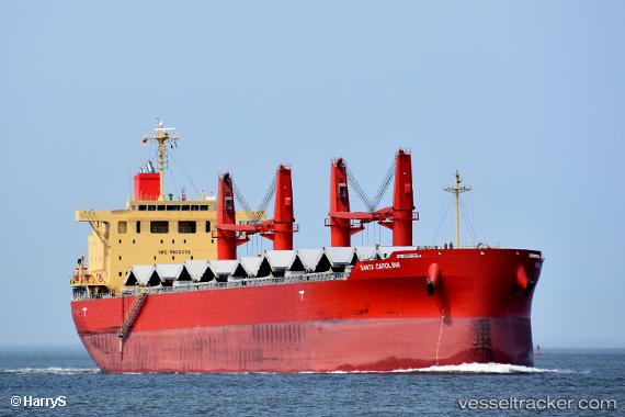
Vessel Santa Carolina IMO: 9800398, MMSI: 636018271 Bulk Carrier
UTC, 30.69411, -88.03735, course: 347, speed: 0
UTC, 30.69410, -88.03735, course: 352, speed: 0.1
2026-01-14 00:40:59 UTC, 30.69411, -88.03733, course: 352, speed: 0.1
Live AIS position:
UTC. Near Mobile),
updated 2026-01-14 00:40:59 UTC.
Find the position of the vessel Santa Carolina on the map. The latter are known coordinates and path.
marine traffic ship tracker show on live map
The current position of vessel Santa Carolina is 30.69411 lat / -88.03733 lng. Updated: 2026-01-14 00:40:59 UTCDetails:
Last coordinates of the vessel:
UTC, 30.69411, -88.03736, course: 303, speed: 0.1UTC, 30.69411, -88.03735, course: 347, speed: 0
UTC, 30.69410, -88.03735, course: 352, speed: 0.1
2026-01-14 00:40:59 UTC, 30.69411, -88.03733, course: 352, speed: 0.1