 vesseltracker.com
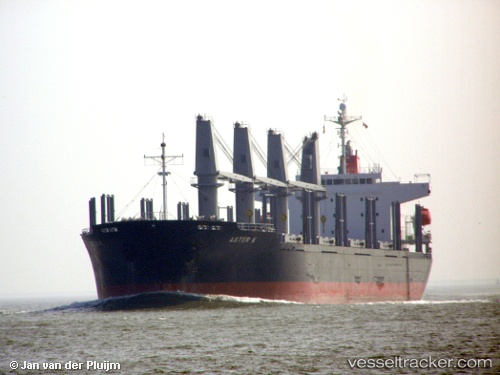
Vessel Polarstar IMO: 9310757, MMSI: 636018306 Bulk Carrier
UTC, 34.63833, 10.85167, course: -1, speed: 0
UTC, 34.63833, 10.85167, course: -1, speed: 0
2026-03-08 04:10:33 UTC, 34.63833, 10.85167, course: -1, speed: 0
Live Vessel Polarstar Analytics (details, animations, etc.)
Live AIS position: UTC. Near Sfax), updated 2026-03-08 04:10:33 UTC.Find the position of the vessel Polarstar on the map. The latter are known coordinates and path.
marine traffic ship tracker show on live map
The current position of vessel Polarstar is 34.63833 lat / 10.85167 lng. Updated: 2026-03-08 04:10:33 UTCCurrently sailing under the flag of Liberia
Polarstar built in 2006 year
Deadweight:
32588 tDetails:
Last coordinates of the vessel:
UTC, 34.63833, 10.85167, course: -1, speed: 0UTC, 34.63833, 10.85167, course: -1, speed: 0
UTC, 34.63833, 10.85167, course: -1, speed: 0
2026-03-08 04:10:33 UTC, 34.63833, 10.85167, course: -1, speed: 0