 vesseltracker.com
Live AIS position:
36.02750° N, 129.41367° E UTC. Near Pohang),
updated 2025-11-19 14:36:20 UTC.
Find the position of the vessel Aquamaka on the map. The latter are known coordinates and path.
marine traffic ship tracker show on live map
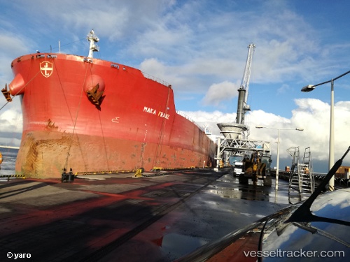
The current position of vessel Aquamaka is 36.02750 lat / 129.41367 lng. Updated: 2025-11-19 14:36:20 UTCCurrently sailing under the flag of Liberia
Aquamaka built in 2009 year
Deadweight:
179362 tDetails:
Last coordinates of the vessel:
UTC, 36.02750, 129.41367, course: 290, speed: 0UTC, 36.02750, 129.41367, course: 290, speed: 0
UTC, 36.02750, 129.41367, course: 290, speed: 0
2025-11-19 14:36:20 UTC, 36.02750, 129.41367, course: 290, speed: 0