 vesseltracker.com
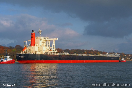
Find the position of the vessel Aquataine on the map. The latter are known coordinates and path.
marine traffic ship tracker show on live map
The current position of vessel Aquataine is 31.4266 lat / 121.51 lng. Updated: 2025-03-17 02:14:36 UTCCurrently sailing under the flag of Liberia
Aquataine built in 2010 year
Speed:
17.3 knotDeadweight:
181725 tPayload_mass:
181725 tonneGross tonnage:
92756Service entry:
2010-01-01T00:00:00ZManufacturer:
Imabari Shipbuilding (Japanese shipbuilder)
Details:
Last coordinates of the vessel:
2025-03-17 02:14:36 UTC, 31.4266, 121.51, course: -1, speed: 5.3