 vesseltracker.com
Find the position of the vessel Aquabridge on the map. The latter are known coordinates and path.
marine traffic ship tracker show on live map
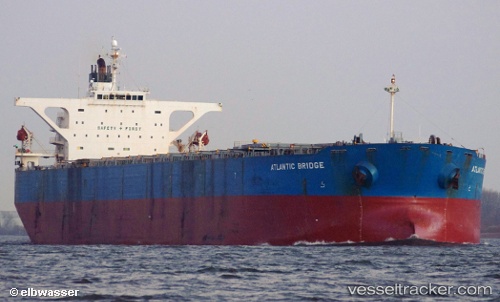
The current position of vessel Aquabridge is 37.7944 lat / 23.5976 lng. Updated: 2025-06-25 18:29:53 UTCCurrently sailing under the flag of Liberia
Aquabridge built in 2005 year
Port of registry:
Monrovia (capital city of Liberia)Speed:
14.5 knotDeadweight:
177106 tGross tonnage:
89588Service entry:
2005-01-01T00:00:00ZManufacturer:
Namura ShipbuildingDetails:
Last coordinates of the vessel:
2025-06-25 18:29:53 UTC, 37.7944, 23.5976, course: 190, speed: 12.5