 vesseltracker.com
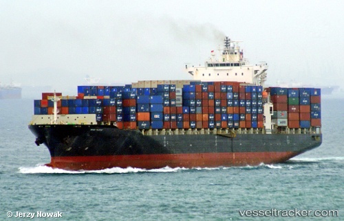
Vessel Navios Felicitas IMO: 9395953, MMSI: 636018471 Container Ship
UTC, 26.96479, -94.41300, course: 179, speed: 16.1
UTC, 26.55333, -94.42833, course: -1, speed: 16
2026-01-30 11:54:17 UTC, 26.02500, -94.38500, course: -1, speed: 16
Live AIS position:
UTC. 149 nm E of South Padre Island),
updated 2026-01-30 11:54:17 UTC.
Find the position of the vessel Navios Felicitas on the map. The latter are known coordinates and path.
marine traffic ship tracker show on live map
The current position of vessel Navios Felicitas is 26.02500 lat / -94.38500 lng. Updated: 2026-01-30 11:54:17 UTCDetails:
Last coordinates of the vessel:
UTC, 27.58507, -94.41155, course: 175, speed: 16.4UTC, 26.96479, -94.41300, course: 179, speed: 16.1
UTC, 26.55333, -94.42833, course: -1, speed: 16
2026-01-30 11:54:17 UTC, 26.02500, -94.38500, course: -1, speed: 16