 vesseltracker.com
Find the position of the vessel ELARA on the map. The latter are known coordinates and path.
marine traffic ship tracker show on live map
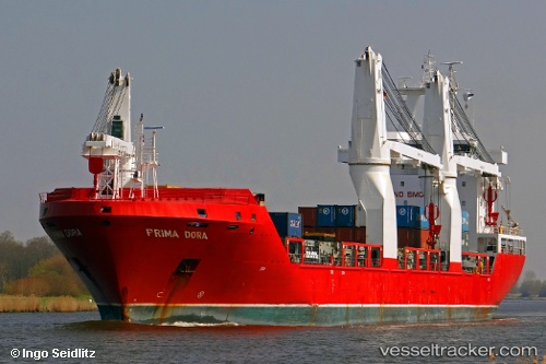
The current position of vessel ELARA is 25.1283 lat / 54.8047 lng. Updated: 2024-05-06 18:11:50 UTCCurrently sailing under the flag of Liberia
ELARA built in 2010 year
Port of registry:
Monrovia (capital city of Liberia)Deadweight:
16543 tPayload_mass:
16543 tonneBeam:
22.9 metreService entry:
2010-01-01T00:00:00ZManufacturer:
Qingshan ShipyardDetails:
Last coordinates of the vessel:
UTC, 25.1274, 54.8055, course: 30, speed: 0UTC, 25.1277, 54.8051, course: 41, speed: 0
UTC, 25.1278, 54.805, course: 45, speed: 0
2024-05-06 18:11:50 UTC, 25.1283, 54.8047, course: 65, speed: 0