 vesseltracker.com
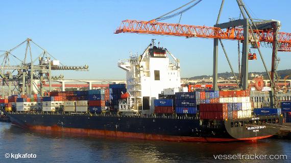
Vessel '636018563' IMO: 9431707, MMSI: 636018563
UTC, -31.79675, 29.74191, course: 222, speed: 9.7
UTC, -31.82188, 29.71198, course: 222, speed: 9.3
2026-01-18 11:16:05 UTC, -31.90333, 29.61667, course: -1, speed: 9
Live AIS position:
UTC. 17 nm S of Port Saint John's),
updated 2026-01-18 11:16:05 UTC.
Find the position of the vessel '636018563' on the map. The latter are known coordinates and path.
marine traffic ship tracker show on live map
The current position of vessel '636018563' is -31.90333 lat / 29.61667 lng. Updated: 2026-01-18 11:16:05 UTCDetails:
Last coordinates of the vessel:
UTC, -31.69333, 29.88333, course: -1, speed: 10UTC, -31.79675, 29.74191, course: 222, speed: 9.7
UTC, -31.82188, 29.71198, course: 222, speed: 9.3
2026-01-18 11:16:05 UTC, -31.90333, 29.61667, course: -1, speed: 9