 vesseltracker.com
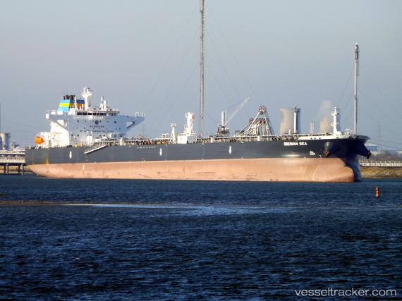
Vessel Iberian Sea IMO: 9815604, MMSI: 636018670 Crude Oil Tanker
UTC, 48.31200, -124.01940, course: 288, speed: 12.1
UTC, 48.43292, -124.44654, course: 292, speed: 11.7
2026-01-15 06:21:25 UTC, 48.52074, -124.97319, course: 269, speed: 10.3
Live AIS position:
UTC. 13 nm NW of Tatoosh Island),
updated 2026-01-15 06:21:25 UTC.
Find the position of the vessel Iberian Sea on the map. The latter are known coordinates and path.
marine traffic ship tracker show on live map
The current position of vessel Iberian Sea is 48.52074 lat / -124.97319 lng. Updated: 2026-01-15 06:21:25 UTCCurrently sailing under the flag of Liberia
Details:
Last coordinates of the vessel:
UTC, 48.38538, -123.37372, course: 253, speed: 12.7UTC, 48.31200, -124.01940, course: 288, speed: 12.1
UTC, 48.43292, -124.44654, course: 292, speed: 11.7
2026-01-15 06:21:25 UTC, 48.52074, -124.97319, course: 269, speed: 10.3