 vesseltracker.com
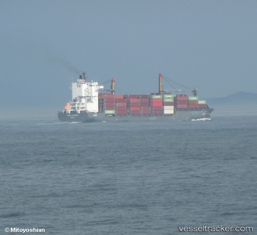
Vessel Hansa Altenburg IMO: 9516739, MMSI: 636018769 Container Ship
UTC, 4.83595, 99.65296, course: 327, speed: 12.7
UTC, 5.16167, 99.44667, course: -1, speed: 13
2026-01-29 13:55:45 UTC, 5.45988, 99.25436, course: 328, speed: 12.5
Live AIS position:
UTC. 59 nm SW of Tanjung Lembung),
updated 2026-01-29 13:55:45 UTC.
Find the position of the vessel Hansa Altenburg on the map. The latter are known coordinates and path.
marine traffic ship tracker show on live map
The current position of vessel Hansa Altenburg is 5.45988 lat / 99.25436 lng. Updated: 2026-01-29 13:55:45 UTCCurrently sailing under the flag of Liberia
Hansa Altenburg built in 2011 year
Deadweight:
23369 tDetails:
Last coordinates of the vessel:
UTC, 3.99315, 100.18675, course: 315, speed: 12.3UTC, 4.83595, 99.65296, course: 327, speed: 12.7
UTC, 5.16167, 99.44667, course: -1, speed: 13
2026-01-29 13:55:45 UTC, 5.45988, 99.25436, course: 328, speed: 12.5