 vesseltracker.com
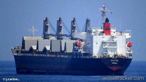
Vessel Irma S IMO: 9385063, MMSI: 636018910 General Cargo Ship
UTC, 37.35833, -5.99667, course: -1, speed: 0
UTC, 37.35833, -5.99667, course: -1, speed: 0
2026-01-17 11:51:08 UTC, 37.35833, -5.99667, course: -1, speed: 0
Live AIS position:
UTC. Near Gelves),
updated 2026-01-17 11:51:08 UTC.
Find the position of the vessel Irma S on the map. The latter are known coordinates and path.
marine traffic ship tracker show on live map
The current position of vessel Irma S is 37.35833 lat / -5.99667 lng. Updated: 2026-01-17 11:51:08 UTCDetails:
Last coordinates of the vessel:
UTC, 37.35833, -5.99667, course: -1, speed: 0UTC, 37.35833, -5.99667, course: -1, speed: 0
UTC, 37.35833, -5.99667, course: -1, speed: 0
2026-01-17 11:51:08 UTC, 37.35833, -5.99667, course: -1, speed: 0