 vesseltracker.com
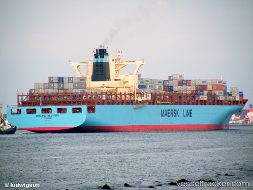
Vessel York IMO: 9196838, MMSI: 636018964 Container Ship
UTC, 31.92952, -80.49856, course: 282, speed: 8.6
UTC, 31.94811, -80.67794, course: 295, speed: 4.3
2026-03-03 19:23:57 UTC, 32.07237, -80.96209, course: 280, speed: 11.9
Live AIS position:
UTC. Near Daufuskie Island),
updated 2026-03-03 19:23:57 UTC.
Find the position of the vessel York on the map. The latter are known coordinates and path.
marine traffic ship tracker show on live map
The current position of vessel York is 32.07237 lat / -80.96209 lng. Updated: 2026-03-03 19:23:57 UTCDetails:
Last coordinates of the vessel:
UTC, 31.90998, -80.33629, course: 126, speed: 2UTC, 31.92952, -80.49856, course: 282, speed: 8.6
UTC, 31.94811, -80.67794, course: 295, speed: 4.3
2026-03-03 19:23:57 UTC, 32.07237, -80.96209, course: 280, speed: 11.9