 vesseltracker.com
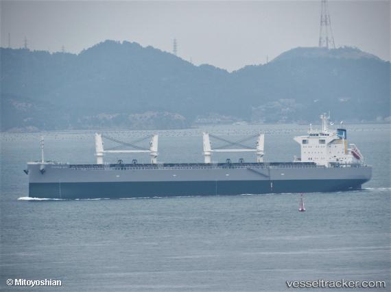
Vessel Mamma Mia IMO: 9846548, MMSI: 636019068 Bulk Carrier
UTC, 34.48420, 133.68909, course: 146, speed: 8.1
UTC, 34.25376, 133.40469, course: 256, speed: 14
2026-02-15 05:36:56 UTC, 34.10430, 133.00555, course: 324, speed: 14
Live AIS position:
UTC. Near Imabari),
updated 2026-02-15 05:36:56 UTC.
Find the position of the vessel Mamma Mia on the map. The latter are known coordinates and path.
marine traffic ship tracker show on live map
The current position of vessel Mamma Mia is 34.10430 lat / 133.00555 lng. Updated: 2026-02-15 05:36:56 UTCDetails:
Last coordinates of the vessel:
UTC, 34.49381, 133.68427, course: 1, speed: 0UTC, 34.48420, 133.68909, course: 146, speed: 8.1
UTC, 34.25376, 133.40469, course: 256, speed: 14
2026-02-15 05:36:56 UTC, 34.10430, 133.00555, course: 324, speed: 14