 vesseltracker.com
Find the position of the vessel Ete N on the map. The latter are known coordinates and path.
marine traffic ship tracker show on live map
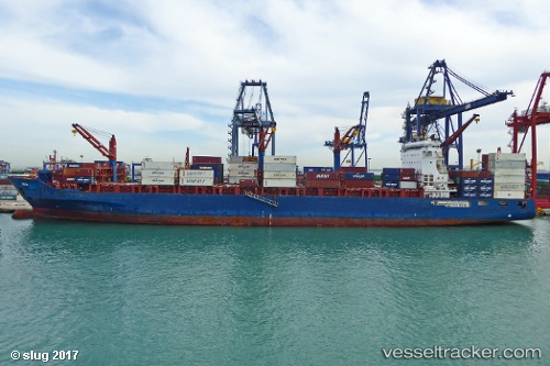
The current position of vessel Ete N is -2.1192 lat / 4.61014 lng. Updated: 2024-05-05 04:52:59 UTCCurrently sailing under the flag of Liberia
Ete N built in 2012 year
Port of registry:
Limassol (city in the Limassol District, Cyprus)Deadweight:
41139 tPayload_mass:
41139.38 tonneGross tonnage:
35887Service entry:
2012-01-01T00:00:00ZManufacturer:
Guangzhou Wenchong Shipyard (shipyard in China)Details:
Last coordinates of the vessel:
UTC, -2.1192, 4.61014, course: 129, speed: 13.4UTC, -2.1192, 4.61014, course: 129, speed: 13.4
UTC, -2.1192, 4.61014, course: 129, speed: 13.4
2024-05-05 04:52:59 UTC, -2.1192, 4.61014, course: 129, speed: 13.4