 vesseltracker.com
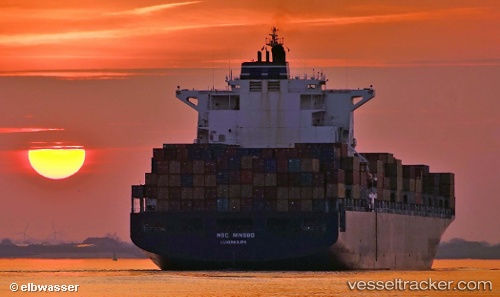
Vessel 'GSL ELENI' IMO: 9285677, MMSI: 636019342
UTC, 32.83428, -79.89127, course: 22, speed: 0
UTC, 32.83425, -79.89125, course: 23, speed: 0
2026-01-18 08:34:34 UTC, 32.83428, -79.89125, course: 22, speed: 0
Live AIS position:
UTC. Near Daniel Island),
updated 2026-01-18 08:34:34 UTC.
Find the position of the vessel 'GSL ELENI' on the map. The latter are known coordinates and path.
marine traffic ship tracker show on live map
The current position of vessel 'GSL ELENI' is 32.83428 lat / -79.89125 lng. Updated: 2026-01-18 08:34:34 UTCDetails:
Last coordinates of the vessel:
UTC, 32.83428, -79.89125, course: 22, speed: 0UTC, 32.83428, -79.89127, course: 22, speed: 0
UTC, 32.83425, -79.89125, course: 23, speed: 0
2026-01-18 08:34:34 UTC, 32.83428, -79.89125, course: 22, speed: 0