 vesseltracker.com
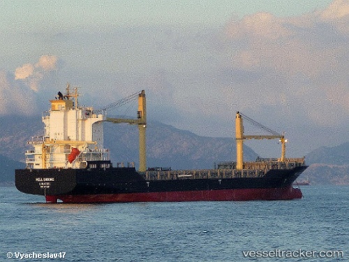
Vessel Nickie B IMO: 9431343, MMSI: 636019431 Container Ship
UTC, 27.10480, 49.77011, course: 252, speed: 4.9
2026-02-19 03:47:02 UTC, 27.10480, 49.77011, course: 252, speed: 4.9
Live AIS position:
UTC. Near AL JUBAIL),
updated 2026-02-19 03:47:02 UTC.
Find the position of the vessel Nickie B on the map. The latter are known coordinates and path.
marine traffic ship tracker show on live map
The current position of vessel Nickie B is 27.10480 lat / 49.77011 lng. Updated: 2026-02-19 03:47:02 UTCDetails:
Last coordinates of the vessel:
UTC, 27.10480, 49.77011, course: 252, speed: 4.9UTC, 27.10480, 49.77011, course: 252, speed: 4.9
2026-02-19 03:47:02 UTC, 27.10480, 49.77011, course: 252, speed: 4.9