 vesseltracker.com
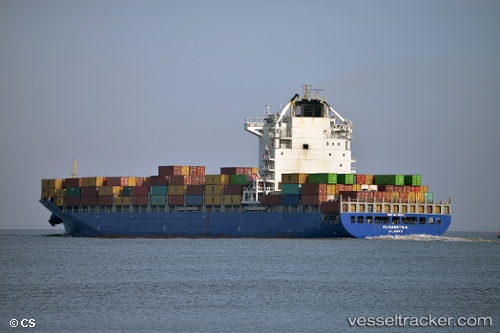
Find the position of the vessel 'LISA' on the map. The latter are known coordinates and path.
marine traffic ship tracker show on live map
The current position of vessel 'LISA' is 24.9596 lat / 119.933 lng. Updated: 2024-04-29 12:20:10 UTCPort of registry:
Saint John's (capital city of Antigua and Barbuda)Speed:
24.5 knotPayload_mass:
50269 tonneGross tonnage:
40541Service entry:
2009-01-01T00:00:00ZManufacturer:
Jiangsu Yangzi Xinfu ShipbuildingDetails:
Last coordinates of the vessel:
UTC, 24.114, 118.966, course: 45, speed: 18UTC, 24.2819, 119.165, course: 48, speed: 18.6
UTC, 24.5483, 119.467, course: -1, speed: 19
2024-04-29 12:20:10 UTC, 24.9596, 119.933, course: 43, speed: 19.6