 vesseltracker.com
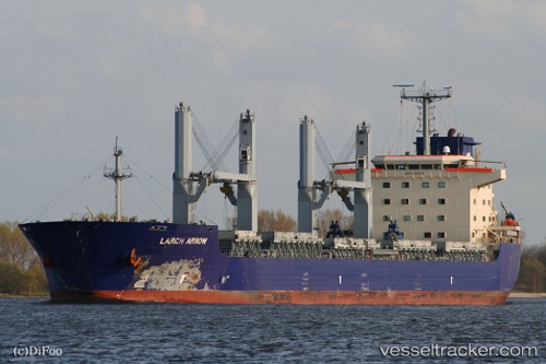
Vessel VICTORIA IMO: 9336828, MMSI: 636019703 Bulk Carrier
UTC, 25.97710, 56.05650, course: 39, speed: 0.2
UTC, 25.97709, 56.05649, course: 39, speed: 0.1
2026-03-03 14:19:25 UTC, 25.97708, 56.05649, course: 39, speed: 0.1
Live AIS position:
UTC. Near Stevin Rock),
updated 2026-03-03 14:19:25 UTC.
Find the position of the vessel VICTORIA on the map. The latter are known coordinates and path.
marine traffic ship tracker show on live map
The current position of vessel VICTORIA is 25.97708 lat / 56.05649 lng. Updated: 2026-03-03 14:19:25 UTCCurrently sailing under the flag of Liberia
VICTORIA built in 2006 year
Deadweight:
50223 tDetails:
Last coordinates of the vessel:
UTC, 25.97714, 56.05645, course: -1, speed: 0.1UTC, 25.97710, 56.05650, course: 39, speed: 0.2
UTC, 25.97709, 56.05649, course: 39, speed: 0.1
2026-03-03 14:19:25 UTC, 25.97708, 56.05649, course: 39, speed: 0.1