 vesseltracker.com
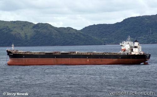
Find the position of the vessel IVESTOS 4 on the map. The latter are known coordinates and path.
marine traffic ship tracker show on live map
The current position of vessel IVESTOS 4 is 25.47072 lat / 55.48458 lng. Updated: 2025-11-14 02:55:48 UTCDetails:
Last coordinates of the vessel:
UTC, 25.47070, 55.48459, course: 213, speed: 0UTC, 25.47071, 55.48458, course: 213, speed: 0
UTC, 25.47072, 55.48458, course: 213, speed: 0
2025-11-14 02:55:48 UTC, 25.47072, 55.48458, course: 213, speed: 0