 vesseltracker.com
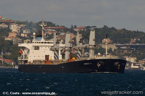
Vessel 'AMBER L' IMO: 9200354, MMSI: 636019839
UTC, 38.00972, 23.59687, course: 303, speed: 0
UTC, 38.00975, 23.59687, course: 303, speed: 0
2026-01-28 15:28:40 UTC, 38.00973, 23.59687, course: 303, speed: 0
Live AIS position:
UTC. Near SKARAMAGAS),
updated 2026-01-28 15:28:40 UTC.
Find the position of the vessel 'AMBER L' on the map. The latter are known coordinates and path.
marine traffic ship tracker show on live map
The current position of vessel 'AMBER L' is 38.00973 lat / 23.59687 lng. Updated: 2026-01-28 15:28:40 UTCDetails:
Last coordinates of the vessel:
UTC, 38.00972, 23.59685, course: 303, speed: 0UTC, 38.00972, 23.59687, course: 303, speed: 0
UTC, 38.00975, 23.59687, course: 303, speed: 0
2026-01-28 15:28:40 UTC, 38.00973, 23.59687, course: 303, speed: 0