 vesseltracker.com
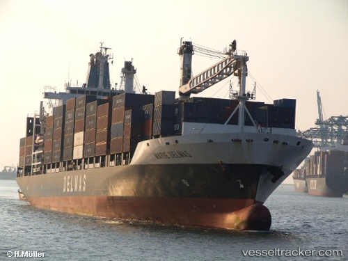
Vessel 'MARIE DELMAS' IMO: 9220847, MMSI: 636019864
UTC, -3.00882, 71.57680, course: 219, speed: 14.4
UTC, -3.48807, 71.19110, course: 221, speed: 14.1
2026-02-08 01:54:48 UTC, -3.81936, 70.90690, course: 221, speed: 13.9
Live AIS position:
UTC. 229 nm NW of Diego Garcia),
updated 2026-02-08 01:54:48 UTC.
Find the position of the vessel 'MARIE DELMAS' on the map. The latter are known coordinates and path.
marine traffic ship tracker show on live map
The current position of vessel 'MARIE DELMAS' is -3.81936 lat / 70.90690 lng. Updated: 2026-02-08 01:54:48 UTCDetails:
Last coordinates of the vessel:
UTC, -2.63823, 71.86376, course: 219, speed: 14.9UTC, -3.00882, 71.57680, course: 219, speed: 14.4
UTC, -3.48807, 71.19110, course: 221, speed: 14.1
2026-02-08 01:54:48 UTC, -3.81936, 70.90690, course: 221, speed: 13.9