 vesseltracker.com
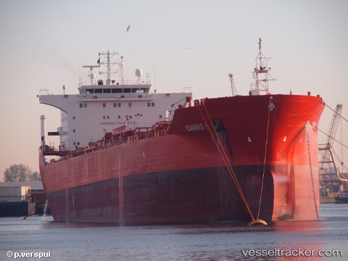
Find the position of the vessel BLUE OCEAN on the map. The latter are known coordinates and path.
marine traffic ship tracker show on live map
The current position of vessel BLUE OCEAN is 25.9227 lat / 56.657 lng. Updated: 2024-04-26 20:18:34 UTCPort of registry:
Limassol (city in the Limassol District, Cyprus)Gross tonnage:
27207Service entry:
2006-01-01T00:00:00ZManufacturer:
Uljanik (shipbuilding company in Pula, Croatia).jpg)
Details:
Last coordinates of the vessel:
UTC, 26.558, 56.5436, course: 121, speed: 9.2UTC, 26.3833, 56.6317, course: -1, speed: 9
UTC, 26.1702, 56.6507, course: 173, speed: 10.3
2024-04-26 20:18:34 UTC, 25.9227, 56.657, course: 175, speed: 10.3