vessel Atlantica IMO: 9216509, Bulk Carrier vesseltracker.com
Vessel Atlantica IMO: 9216509, Bulk Carrier
MMSI: 636020104 callsign: D5XR6 size: 190x32

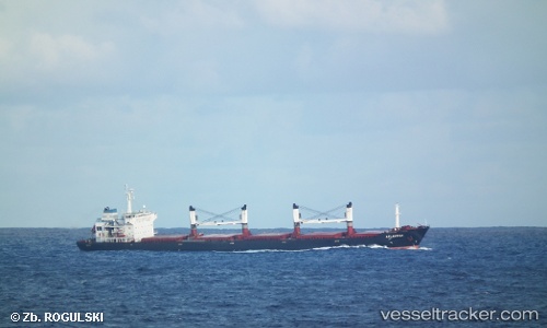
Find the position of the vessel Atlantica on the map. The latter are known coordinates and path.

marine traffic ship tracker show on live map

The current position of vessel Atlantica is -3.88752 lat / 110.941 lng. Updated: 2024-04-24 18:19:39 UTC

Currently sailing under the flag of Liberia

Payload_mass:
50259 tonne
Gross tonnage:
28693
Service entry:
2001-01-01T00:00:00Z
Details:


Last coordinates of the vessel:
UTC, -3.78915, 110.298, course: 117, speed: 13.1
UTC, -3.87018, 110.769, course: 97, speed: 12.7
UTC, -3.88752, 110.941, course: 95, speed: 12.6
2024-04-24 18:19:39 UTC, -3.88752, 110.941, course: 95, speed: 12.6

Track of the vessel in the last 14 days


Most frequent ports a vessels calls at Atlantica (636020104):

Nakhodka, traffic: 8
Vladivostok, traffic: 4
Abidjan, traffic: 2
Cotonou, traffic: 2
San Pedro, traffic: 2
Tema, traffic: 2
Busan, traffic: 1
Sambu, traffic: 1
Taku Bar, traffic: 1
Uglegorsk, traffic: 1

Link to the map:


Find another ship

Atlantica (636020104) last ports (portcalls and passsages)

Vladivostok | 2024-01-02 05:59:22
Nakhodka | 2023-12-14 13:58:25
Nakhodka | 2023-12-10 13:58:17
Nakhodka | 2022-12-05 05:07:36
Nakhodka | 2022-12-01 02:53:55
Uglegorsk | 2022-11-07 03:02:07
Vladivostok | 2022-09-27 04:20:05
Vladivostok | 2022-09-22 10:15:35
Busan | 2022-07-25 04:44:57
Nakhodka | 2022-07-20 22:25:25
Vladivostok | 2022-07-07 13:48:08
Nakhodka | 2022-06-09 13:12:50
Nakhodka | 2022-05-25 07:17:06
Nakhodka | 2022-05-07 19:31:31
Sambu | 2022-02-25 00:10:26
San Pedro | 2022-01-18 12:24:06
Abidjan | 2022-01-14 17:51:39
Tema | 2022-01-05 03:08:18
Cotonou | 2021-12-20 21:25:00
Taku Bar | 2021-09-30 16:11:17