 vesseltracker.com
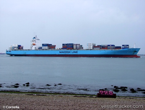
Vessel LONG BEACH EXPRESS IMO: 9348675, MMSI: 636020252 Container Ship
UTC, 30.72104, -118.63878, course: 225, speed: 12.8
UTC, 30.28621, -119.07929, course: 227, speed: 12.5
2026-03-10 09:50:32 UTC, 30.05673, -119.31519, course: 225, speed: 12.6
Live Vessel LONG BEACH EXPRESS Analytics (details, animations, etc.)
Live AIS position: UTC. 162 nm SW of Santo Tomas), updated 2026-03-10 09:50:32 UTC.Find the position of the vessel LONG BEACH EXPRESS on the map. The latter are known coordinates and path.
marine traffic ship tracker show on live map
The current position of vessel LONG BEACH EXPRESS is 30.05673 lat / -119.31519 lng. Updated: 2026-03-10 09:50:32 UTCCurrently sailing under the flag of Liberia
LONG BEACH EXPRESS built in 2008 year
Deadweight:
68463 tDetails:
Last coordinates of the vessel:
UTC, 30.99500, -118.42543, course: 202, speed: 13UTC, 30.72104, -118.63878, course: 225, speed: 12.8
UTC, 30.28621, -119.07929, course: 227, speed: 12.5
2026-03-10 09:50:32 UTC, 30.05673, -119.31519, course: 225, speed: 12.6