 vesseltracker.com
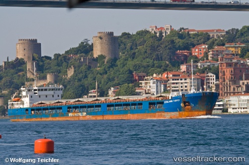
Find the position of the vessel Angora 2 on the map. The latter are known coordinates and path.
marine traffic ship tracker show on live map
The current position of vessel Angora 2 is 42.7536 lat / 34.8598 lng. Updated: 2024-05-06 22:28:36 UTCCurrently sailing under the flag of Liberia
Port of registry:
Valletta (capital of Malta)Gross tonnage:
5684Service entry:
2006-01-01T00:00:00ZDetails:
Last coordinates of the vessel:
UTC, 42.415, 34.3531, course: 75, speed: 9UTC, 42.4823, 34.5545, course: 41, speed: 8.6
UTC, 42.5351, 34.6193, course: 33, speed: 8.8
2024-05-06 22:28:36 UTC, 42.7536, 34.8598, course: 40, speed: 8.3