 vesseltracker.com
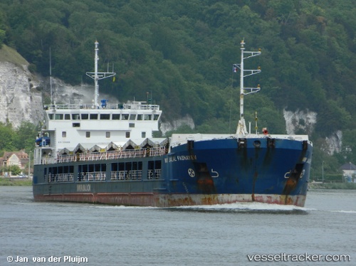
Find the position of the vessel Angora 4 on the map. The latter are known coordinates and path.
marine traffic ship tracker show on live map
The current position of vessel Angora 4 is 31.18147 lat / 29.87529 lng. Updated: 2025-10-01 22:00:15 UTCCurrently sailing under the flag of Liberia
Details:
Last coordinates of the vessel:
UTC, 31.18149, 29.87529, course: 40, speed: 0UTC, 31.18147, 29.87529, course: 40, speed: 0
UTC, 31.18147, 29.87529, course: 40, speed: 0
2025-10-01 22:00:15 UTC, 31.18147, 29.87529, course: 41, speed: 0