 vesseltracker.com
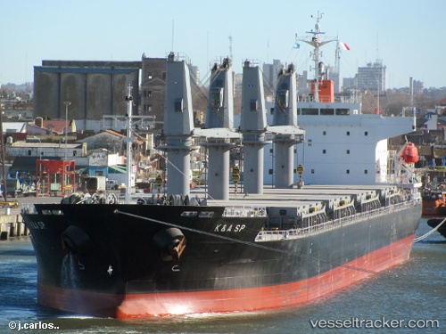
Vessel Kerasia S IMO: 9496185, MMSI: 636020342 General Cargo Ship
UTC, 36.23000, 17.72167, course: -1, speed: 10
UTC, 36.22667, 17.49833, course: -1, speed: 10
2026-01-19 12:44:20 UTC, 36.22664, 17.21754, course: 267, speed: 10.1
Live AIS position:
UTC. 45 nm NE of Ryuo),
updated 2026-01-19 12:44:20 UTC.
Find the position of the vessel Kerasia S on the map. The latter are known coordinates and path.
marine traffic ship tracker show on live map
The current position of vessel Kerasia S is 36.22664 lat / 17.21754 lng. Updated: 2026-01-19 12:44:20 UTCCurrently sailing under the flag of Liberia
Details:
Last coordinates of the vessel:
UTC, 36.23333, 18.41167, course: -1, speed: 10UTC, 36.23000, 17.72167, course: -1, speed: 10
UTC, 36.22667, 17.49833, course: -1, speed: 10
2026-01-19 12:44:20 UTC, 36.22664, 17.21754, course: 267, speed: 10.1