 vesseltracker.com
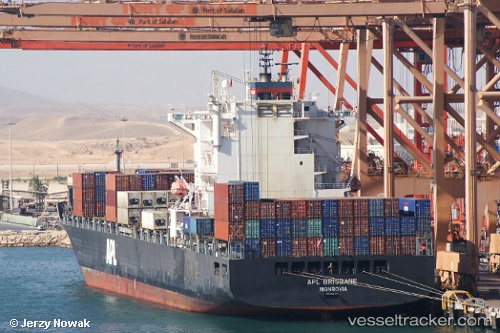
Vessel IRENES RAY IMO: 9322504, MMSI: 636020437 Container Ship
UTC, 13.06942, 100.89848, course: 331, speed: 0
UTC, 13.06930, 100.89862, course: 331, speed: 0
2026-02-24 10:52:50 UTC, 13.06930, 100.89862, course: 331, speed: 0
Live AIS position:
UTC. Near Tips Container Terminal),
updated 2026-02-24 10:52:50 UTC.
Find the position of the vessel IRENES RAY on the map. The latter are known coordinates and path.
marine traffic ship tracker show on live map
The current position of vessel IRENES RAY is 13.06930 lat / 100.89862 lng. Updated: 2026-02-24 10:52:50 UTCCurrently sailing under the flag of Liberia
IRENES RAY built in 2006 year
Deadweight:
44132 tDetails:
Last coordinates of the vessel:
UTC, 13.06933, 100.89860, course: 331, speed: 0UTC, 13.06942, 100.89848, course: 331, speed: 0
UTC, 13.06930, 100.89862, course: 331, speed: 0
2026-02-24 10:52:50 UTC, 13.06930, 100.89862, course: 331, speed: 0