 vesseltracker.com
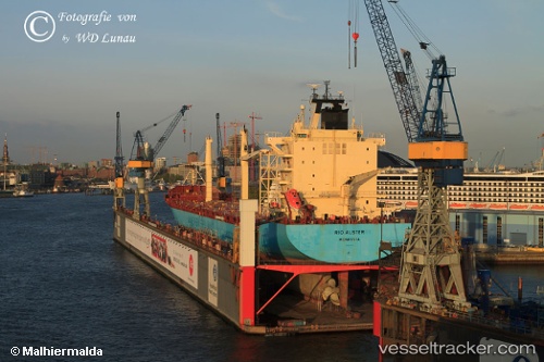
Vessel CINDY IMO: 9304734, MMSI: 636020455 Container Ship
UTC, 45.45822, 12.25464, course: 120, speed: 0
UTC, 45.45822, 12.25465, course: 120, speed: 0
2026-03-14 14:49:14 UTC, 45.45821, 12.25464, course: 120, speed: 0
Live Vessel CINDY Analytics (details, animations, etc.)
Live AIS position: UTC. Near Marghera), updated 2026-03-14 14:49:14 UTC.Find the position of the vessel CINDY on the map. The latter are known coordinates and path.
marine traffic ship tracker show on live map
The current position of vessel CINDY is 45.45821 lat / 12.25464 lng. Updated: 2026-03-14 14:49:14 UTCCurrently sailing under the flag of Liberia
CINDY built in 2004 year
Deadweight:
34884 tDetails:
Last coordinates of the vessel:
UTC, 45.45823, 12.25464, course: 119, speed: 0UTC, 45.45822, 12.25464, course: 120, speed: 0
UTC, 45.45822, 12.25465, course: 120, speed: 0
2026-03-14 14:49:14 UTC, 45.45821, 12.25464, course: 120, speed: 0