 vesseltracker.com
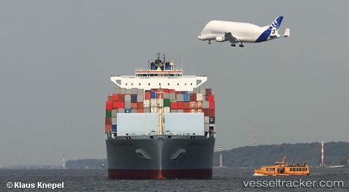
Vessel '636020495' IMO: 9305489, MMSI: 636020495
UTC, 51.49989, 0.49657, course: 16, speed: 1.8
UTC, 51.50319, 0.49468, course: 79, speed: 0
2026-02-06 04:13:04 UTC, 51.50317, 0.49465, course: 79, speed: 0
Live AIS position:
UTC. Near London Gateway Port),
updated 2026-02-06 04:13:04 UTC.
Find the position of the vessel '636020495' on the map. The latter are known coordinates and path.
marine traffic ship tracker show on live map
The current position of vessel '636020495' is 51.50317 lat / 0.49465 lng. Updated: 2026-02-06 04:13:04 UTCDetails:
Last coordinates of the vessel:
UTC, 51.56293, 1.18967, course: 243, speed: 13.7UTC, 51.49989, 0.49657, course: 16, speed: 1.8
UTC, 51.50319, 0.49468, course: 79, speed: 0
2026-02-06 04:13:04 UTC, 51.50317, 0.49465, course: 79, speed: 0