 vesseltracker.com
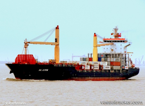
Vessel MSC KYMEA IMO: 9334844, MMSI: 636020701 Container Ship
UTC, 7.78655, 82.88054, course: 32, speed: 12.3
UTC, 8.13286, 83.10485, course: 30, speed: 12.3
2026-03-02 03:37:40 UTC, 8.34610, 83.22734, course: 32, speed: 12.1
Live AIS position:
UTC. 104 nm NE of Oluvil),
updated 2026-03-02 03:37:40 UTC.
Find the position of the vessel MSC KYMEA on the map. The latter are known coordinates and path.
marine traffic ship tracker show on live map
The current position of vessel MSC KYMEA is 8.34610 lat / 83.22734 lng. Updated: 2026-03-02 03:37:40 UTCCurrently sailing under the flag of Liberia
MSC KYMEA built in 2006 year
Deadweight:
23639 tDetails:
Last coordinates of the vessel:
UTC, 7.42070, 82.64746, course: 32, speed: 12.2UTC, 7.78655, 82.88054, course: 32, speed: 12.3
UTC, 8.13286, 83.10485, course: 30, speed: 12.3
2026-03-02 03:37:40 UTC, 8.34610, 83.22734, course: 32, speed: 12.1