 vesseltracker.com
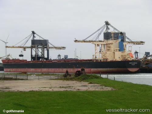
Vessel HELLASSHIP IMO: 9574236, MMSI: 636020735 Bulk Carrier
UTC, -33.02902, 17.98494, course: 200, speed: 0
UTC, -33.02906, 17.98494, course: 200, speed: 0
2026-02-23 11:30:44 UTC, -33.02898, 17.98494, course: 201, speed: 0
Live AIS position:
UTC. Near SALDANHA),
updated 2026-02-23 11:30:44 UTC.
Find the position of the vessel HELLASSHIP on the map. The latter are known coordinates and path.
marine traffic ship tracker show on live map
The current position of vessel HELLASSHIP is -33.02898 lat / 17.98494 lng. Updated: 2026-02-23 11:30:44 UTCCurrently sailing under the flag of Liberia
HELLASSHIP built in 2012 year
Deadweight:
181325 tDetails:
Last coordinates of the vessel:
UTC, -33.02903, 17.98491, course: 200, speed: 0UTC, -33.02902, 17.98494, course: 200, speed: 0
UTC, -33.02906, 17.98494, course: 200, speed: 0
2026-02-23 11:30:44 UTC, -33.02898, 17.98494, course: 201, speed: 0