 vesseltracker.com
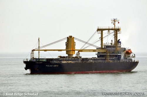
Vessel RIGHT HILL IMO: 9403798, MMSI: 636020867 General Cargo Ship
UTC, 22.54614, 88.30043, course: 137, speed: 0
UTC, 22.54614, 88.30043, course: 137, speed: 0
2026-02-21 02:06:37 UTC, 22.54614, 88.30043, course: 137, speed: 0
Live AIS position:
UTC. Near Metia Bruz),
updated 2026-02-21 02:06:37 UTC.
Find the position of the vessel RIGHT HILL on the map. The latter are known coordinates and path.
marine traffic ship tracker show on live map
The current position of vessel RIGHT HILL is 22.54614 lat / 88.30043 lng. Updated: 2026-02-21 02:06:37 UTCCurrently sailing under the flag of Liberia
RIGHT HILL built in 2007 year
Deadweight:
13030 tDetails:
Last coordinates of the vessel:
UTC, 22.54618, 88.30042, course: 137, speed: 0UTC, 22.54614, 88.30043, course: 137, speed: 0
UTC, 22.54614, 88.30043, course: 137, speed: 0
2026-02-21 02:06:37 UTC, 22.54614, 88.30043, course: 137, speed: 0