.
vessel GEOSAND IMO: 9482201, Bulk Carrier vesseltracker.com
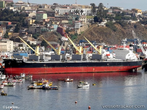
Vessel GEOSAND IMO: 9482201, MMSI: 636020965 Bulk Carrier

callsign: 5LBP5
size: x

Live AIS position: UTC. Near Paradip), updated 2026-02-01 13:40:14 UTC.

Find the position of the vessel GEOSAND on the map. The latter are known coordinates and path.

marine traffic ship tracker show on live map

The current position of vessel GEOSAND is 20.27679 lat / 86.66815 lng. Updated: 2026-02-01 13:40:14 UTC

Currently sailing under the flag of Liberia

GEOSAND built in 2010 year

Deadweight:
55471 t

Details:


Last coordinates of the vessel:
UTC, 20.27677, 86.66816, course: 26, speed: 0
UTC, 20.27677, 86.66815, course: 26, speed: 0
UTC, 20.27679, 86.66813, course: 26, speed: 0
2026-02-01 13:40:14 UTC, 20.27679, 86.66815, course: 26, speed: 0

Track of the vessel in the last 28 days


Most frequent ports a vessels calls at GEOSAND (636020965):

Sambu, traffic: 17
Singapore, traffic: 10
Vishakhapatnam, traffic: 4
Gopalpur, traffic: 3
Mina Saqr, traffic: 3
Abu Dhabi, traffic: 2
Durban, traffic: 2
Haldia, traffic: 2

Link to the map:


Find another ship

GEOSAND (636020965) last ports (portcalls and passsages)

Sambu | 2024-01-10 10:38:19
Gopalpur | 2024-01-03 03:10:36
Gopalpur | 2023-12-29 23:00:38
Gopalpur | 2023-12-25 22:45:46
Mina Saqr | 2022-11-19 02:54:26
Sambu | 2022-10-28 07:09:59
Sambu | 2022-10-13 13:58:05
Haldia | 2022-10-05 22:25:38
Haldia | 2022-10-01 19:28:12
Vishakhapatnam | 2022-09-24 19:44:13
Singapore | 2022-09-17 19:09:18
Durban | 2022-06-24 13:19:04
Durban | 2022-06-20 13:15:27
Vishakhapatnam | 2022-05-22 10:19:41
Vishakhapatnam | 2022-05-17 02:01:04
Vishakhapatnam | 2022-05-13 01:33:06
Singapore | 2022-05-05 16:54:45
Sambu | 2022-03-30 10:00:27
Singapore | 2022-03-29 21:15:36
Mina Saqr | 2022-02-12 15:17:17
Abu Dhabi | 2022-02-01 19:55:14
Singapore | 2022-01-16 05:55:41
Singapore | 2022-01-16 05:50:31
Sambu | 2022-01-16 05:45:12
Sambu | 2021-12-01 23:25:06
Singapore | 2021-12-01 22:45:58
Sambu | 2021-12-01 22:25:01