vessel 636020969 IMO: 9641900, vesseltracker.com
Vessel 636020969 IMO: 9641900,
MMSI: 636020969 callsign: size: x

Find the position of the vessel 636020969 on the map. The latter are known coordinates and path.

marine traffic ship tracker show on live map

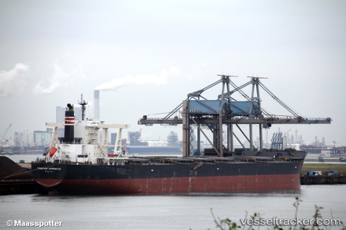
The current position of vessel 636020969 is 23.0767 lat / 121.81 lng. Updated: 2024-04-29 00:19:37 UTC
Payload_mass:
181412 tonne
Gross tonnage:
92752
Service entry:
2013-01-01T00:00:00Z
Details:


Last coordinates of the vessel:
UTC, 23.5618, 121.995, course: 201, speed: 11.1
UTC, 23.285, 121.899, course: 201, speed: 11.2
UTC, 23.0767, 121.81, course: 199, speed: 11.3
2024-04-29 00:19:37 UTC, 23.0767, 121.81, course: 199, speed: 11.3


Most frequent ports a vessels calls at 636020969 (636020969):

Port Hedland, traffic: 9
Port Headland, traffic: 9
Selat Lombok, traffic: 8
Lianyungang, traffic: 2
Richards Bay, traffic: 2
Selat Sunda, traffic: 2
Wu-Sung, traffic: 2
Wusong, traffic: 2
Dagu Bar, traffic: 1

Link to the map:


Find another ship

636020969 (636020969) last ports (portcalls and passsages)

Selat Lombok | 2023-12-28 02:42:29
Port Headland | 2023-12-24 07:31:43
Selat Lombok | 2023-12-19 21:01:28
Dagu Bar | 2023-12-09 19:15:24
Selat Lombok | 2023-01-01 02:29:39
Port Headland | 2022-12-28 00:04:40
Port Hedland | 2022-11-21 05:08:51
Port Headland | 2022-10-13 10:05:58
Selat Lombok | 2022-09-03 16:02:24
Port Headland | 2022-08-30 10:50:52
Selat Lombok | 2022-07-25 14:02:23
Port Headland | 2022-07-21 11:05:16
Selat Lombok | 2022-06-18 04:26:08
Port Headland | 2022-06-14 04:23:39
Wusong | 2022-05-27 14:04:31
Wusong | 2022-04-05 21:19:22
Port Hedland | 2022-02-01 04:45:22
Selat Lombok | 2022-01-26 22:48:29
Lianyungang | 2022-01-12 07:19:16
Selat Sunda | 2021-12-28 03:30:09
Richards Bay | 2021-12-10 18:36:21