 vesseltracker.com
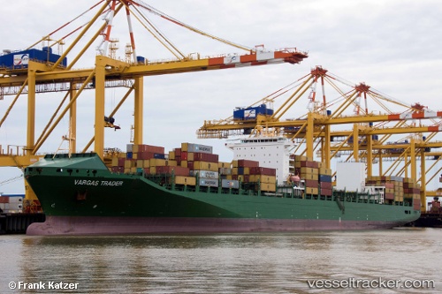
Vessel GSL SYROS IMO: 9437062, MMSI: 636020985 Container Ship
UTC, 23.12691, 37.60211, course: 328, speed: 17.7
UTC, 23.80840, 37.11124, course: 324, speed: 18.2
2026-02-25 12:15:56 UTC, 23.80840, 37.11124, course: 324, speed: 18.2
Live AIS position:
UTC. 53 nm W of Yanbu al-Bahr),
updated 2026-02-25 12:15:56 UTC.
Find the position of the vessel GSL SYROS on the map. The latter are known coordinates and path.
marine traffic ship tracker show on live map
The current position of vessel GSL SYROS is 23.80840 lat / 37.11124 lng. Updated: 2026-02-25 12:15:56 UTCCurrently sailing under the flag of Liberia
GSL SYROS built in 2010 year
Deadweight:
65710 tDetails:
Last coordinates of the vessel:
UTC, 23.12691, 37.60211, course: 328, speed: 17.7UTC, 23.12691, 37.60211, course: 328, speed: 17.7
UTC, 23.80840, 37.11124, course: 324, speed: 18.2
2026-02-25 12:15:56 UTC, 23.80840, 37.11124, course: 324, speed: 18.2