 vesseltracker.com
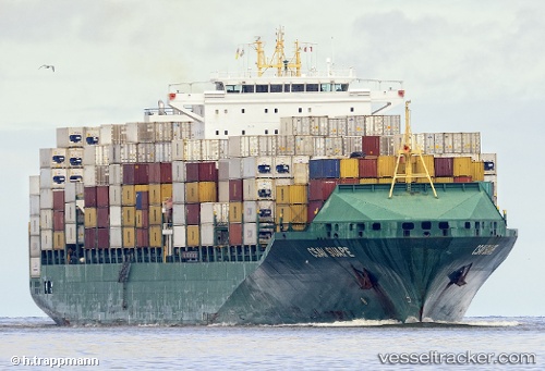
Vessel '636020986' IMO: 9437048, MMSI: 636020986
UTC, 35.88887, -5.49867, course: 43, speed: 0
UTC, 35.88897, -5.49875, course: 43, speed: 0
2026-02-18 06:16:42 UTC, 35.88887, -5.49870, course: 43, speed: 0
Live AIS position:
UTC. Near TANGER MED),
updated 2026-02-18 06:16:42 UTC.
Find the position of the vessel '636020986' on the map. The latter are known coordinates and path.
marine traffic ship tracker show on live map
The current position of vessel '636020986' is 35.88887 lat / -5.49870 lng. Updated: 2026-02-18 06:16:42 UTCDetails:
Last coordinates of the vessel:
UTC, 35.88888, -5.49867, course: 43, speed: 0UTC, 35.88887, -5.49867, course: 43, speed: 0
UTC, 35.88897, -5.49875, course: 43, speed: 0
2026-02-18 06:16:42 UTC, 35.88887, -5.49870, course: 43, speed: 0