 vesseltracker.com
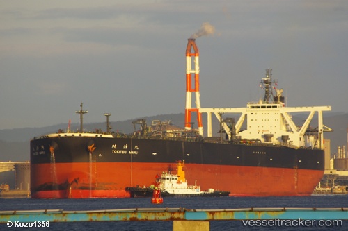
Vessel '636021032' IMO: 9568809, MMSI: 636021032
UTC, 22.09682, 68.59800, course: 92, speed: 11.6
UTC, 22.19248, 68.79143, course: 359, speed: 11.7
2026-02-09 21:55:05 UTC, 22.55583, 68.92050, course: 22, speed: 11.6
Live AIS position:
UTC. 10 nm NW of Okha),
updated 2026-02-09 21:55:05 UTC.
Find the position of the vessel '636021032' on the map. The latter are known coordinates and path.
marine traffic ship tracker show on live map
The current position of vessel '636021032' is 22.55583 lat / 68.92050 lng. Updated: 2026-02-09 21:55:05 UTCDetails:
Last coordinates of the vessel:
UTC, 22.12803, 68.02376, course: 95, speed: 11.9UTC, 22.09682, 68.59800, course: 92, speed: 11.6
UTC, 22.19248, 68.79143, course: 359, speed: 11.7
2026-02-09 21:55:05 UTC, 22.55583, 68.92050, course: 22, speed: 11.6